Precision imaging. Infinite insights.
Proudly Serving Northeast, OH and Eastern, NC
At Aerial Diagnostics we believe that information is power and using every tool at your disposal is not only practical but necessary. From tracking construction progress to detecting vegetation health, and anywhere in between, Aerial Diagnostics will be your eye in the sky. The future of assessing and solving your project’s toughest challenges is here.
-

Precision Insights
Gain accurate and detailed insights, empowering data-driven decision-making
-

Efficiency Optimization
Save time and money by streamlining operations and optimizing resource usage
-

Enhanced Safety Measures
Remotely assess and monitor hazardous areas
-

Environmental Awareness
Monitor how project decisions are impacting the ecosystem
Our Services
-
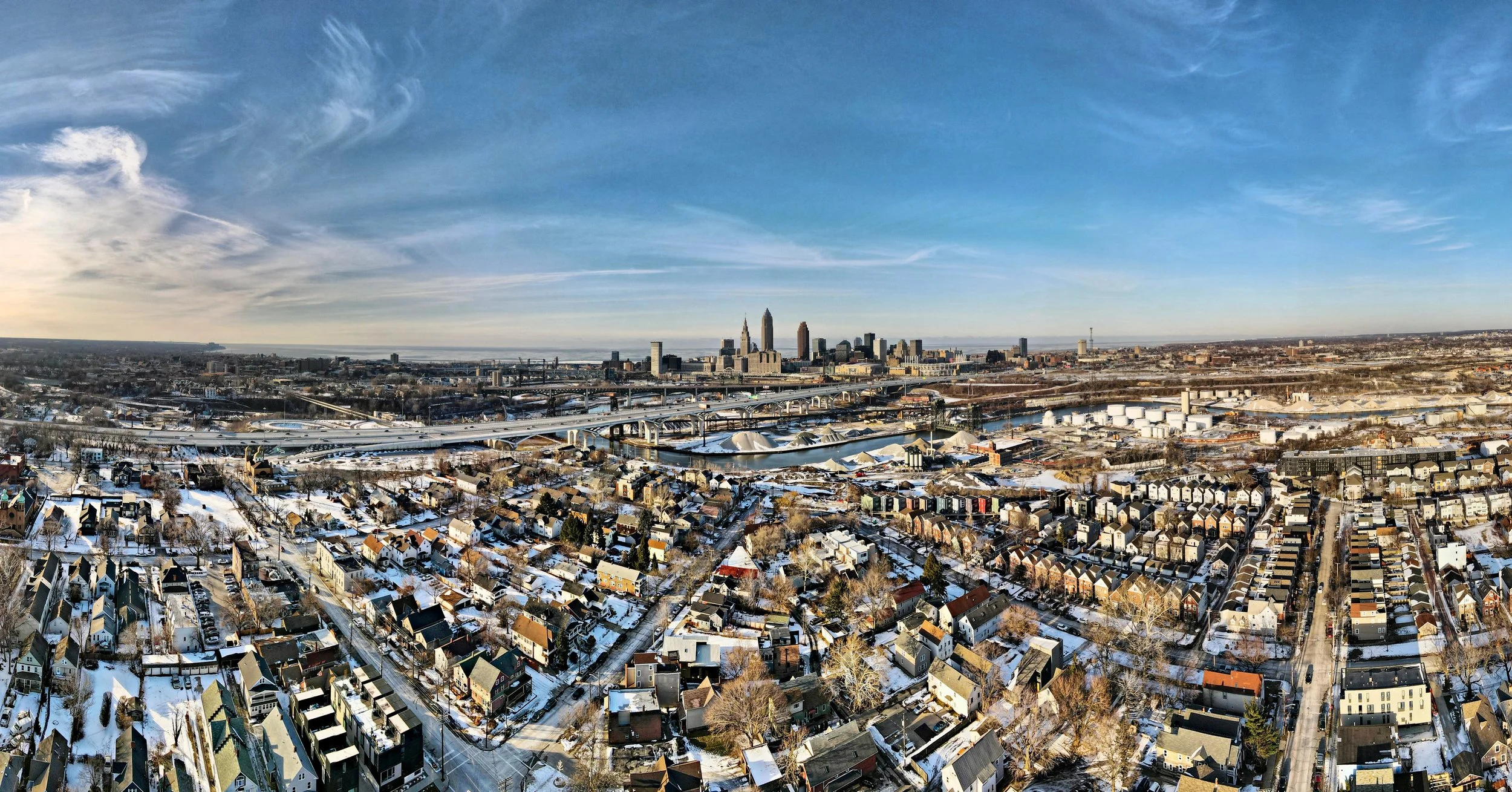
From large scale perspectives to the smallest detail on site, we provide a panoramic view of any project’s ongoing evolution.
Track incremental advancements
Enhance workflows
Mitigate potential risks and setbacks
Cover every stage from Pre-Bid to Construction and Project Closeout
-
Revolutionize your approach to vegetation management. Our cutting-edge multispectral sensors will keep you two steps ahead at all times.
Detect early signs of plant distress
Evaluate nuanced plant health disparities
Optimize yield and resource conservation
Analysis available for Golf Courses, Vineyards, Orchards, Hops, and more
-
Limit guess work and save costs before decisions need to be made. Through strategic drone flights and advanced software, we sculpt meticulous 3D models to:
Present projects in an immersive manner
Elevate design and drafting insights
Offer holistic site analysis
-
Precision meets urgency in our drone-driven surveys that guarantee:
Swift data accumulation
Unparalleled attention to detail
In-depth topographical and terrestrial insights
-
Looking to buy or sell? Make sure that there are no surprises.
Videos
Photography
Roof and Gutter Inspections
-
Make informed decisions and guarantee project success with our comprehensive GIS solutions:
Asset Management: Efficiently track, manage, and maintain your assets.
Aerial Insights: Extract valuable information from aerial imagery.
Site Suitability Analysis: Determine the optimal location for your projects.
Data Visualization: Communicate complex information effectively with clear visuals.
Training & Consulting: Empower your team with GIS knowledge and skills.


